ICAROFLY
01
PHOTOGRAMMETRY
PROJECTIONS
E GEOREFERENCING
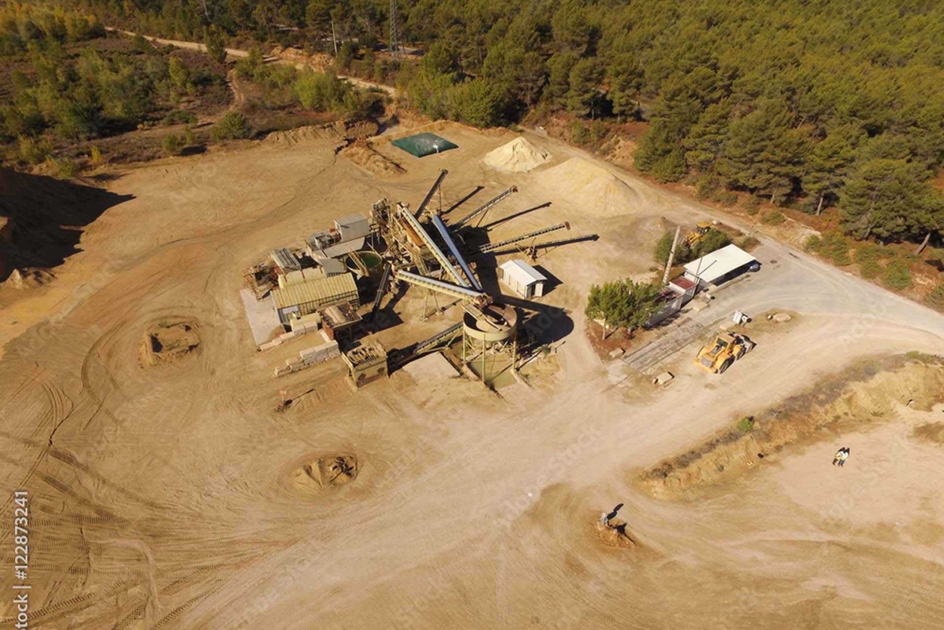
We geo-reference and project pictures obtained with the drone onto digital cartography:
discover the advantages of precise and updated digital cartography.
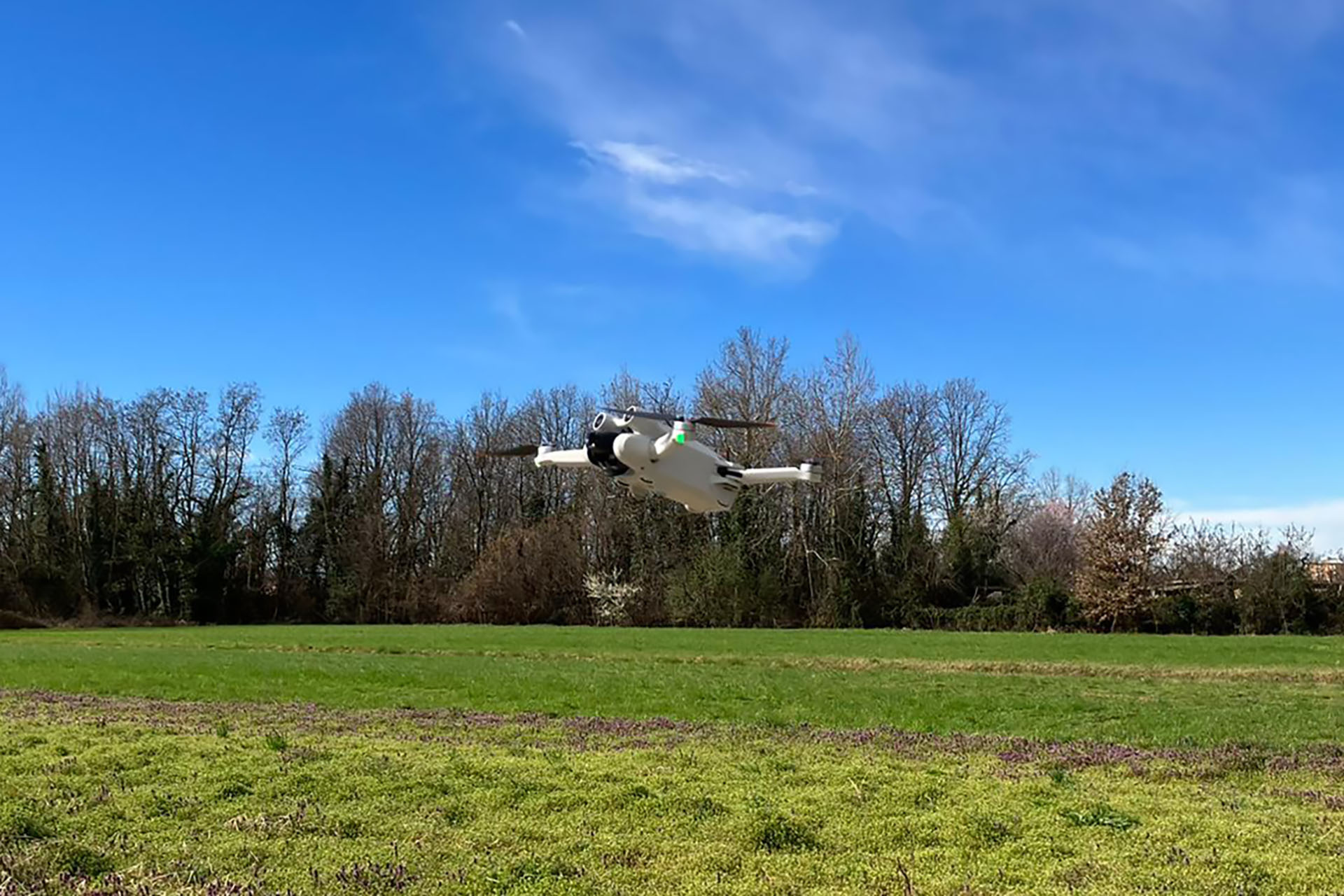
We use drones to get photos of buildings taken from above to obtain 3D models and elevations.
02
GEO WORKS